Posts

Showing posts with the label SatMap

Expedition Plans – #KayakRTI Kayak Round the Isle of Wight

Image
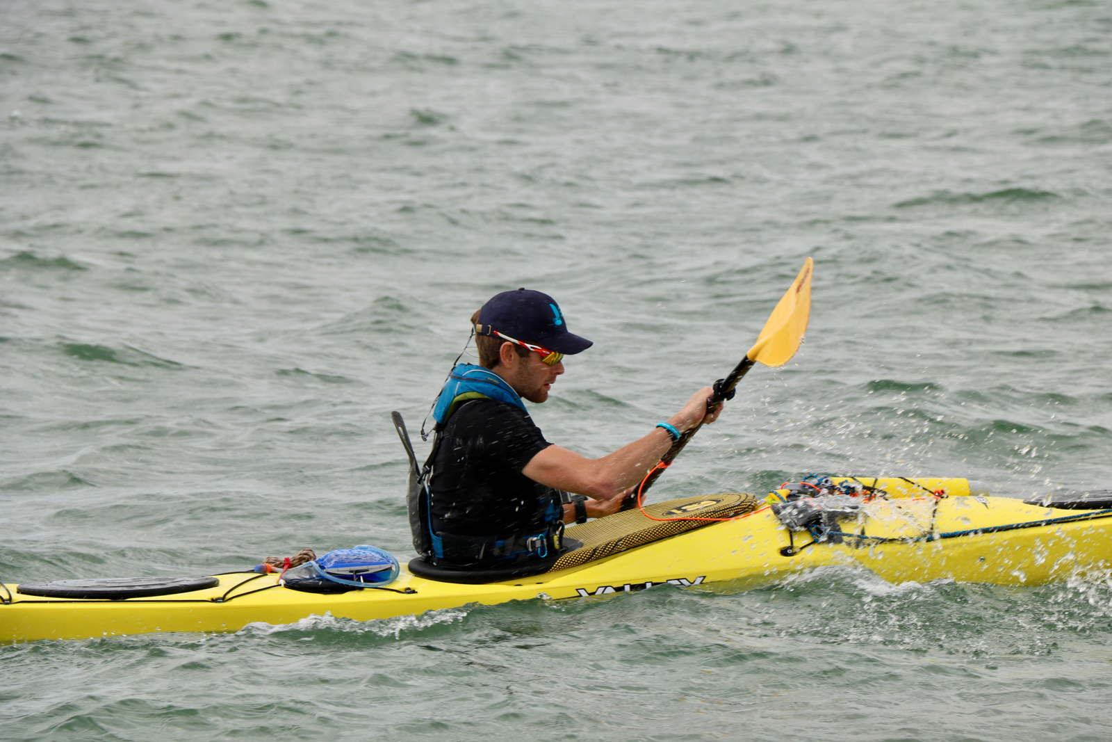
Last November, I rekindled a past passion of mine—sea kayaking. I purchased a 17.5 foot expedition level sea kayak and began paddling; reacquainting myself with the freedom of skimming along the surface of the water, using just your own willpower and strength for propulsion. There was one objective, one thought, which lay in the back of my mind from the moment the first paddle stroke cut through the water… how far can I go ? Much as my bike expeditions have previously taken me over many new horizons, I wanted to see where this new horizon would lead. I set myself an objective… to kayak non-stop around the Isle of Wight during the summer of 2019. I have cycled and sailed round the Island more times than I can count, but the 95 kilometre route by kayak would be a whole new challenge, and the first of many new all-day horizon explorations. I began training in the depths of winter; layered up like an onion, using a rag-tag bunch of cycling kit and sailing kit to try and provide pr...

Kit Focus — SatMap Active 20 GPS Mapping Navigation Device

Image
I have always had a love of maps. I can sit for hours looking at the contours, colours, and trail lines; imagining the landscape that they represent. For me, maps are adventure art; but they are also an essential tool for exploration. The SatMap Active 20 GPS is my latest investment into mapping, and as a portable highly-accurate and versatile handheld mapping device, it is a superb companion. For cycling, maps exist on many of the leading brands' computer units, but for the most part if you take them into really back-and-beyond destinations and they will fail to show you the true lay of the land—unable to show you the topography, geology, or small but potentially critical features like stream or bogs. These smaller but critical details about the composition of the landscape are what can make or break hiking, running, and biking adventures. The best way to identify with them, before it gets too late, is to consult an Ordnance Survey map or similar international variant. The...